TopoQuest Logo
Do you find TopoQuest useful?
Help keep TopoQuest running and adding new maps/features by donating!
Bitcoin:  19c7KJd3qBynnjoSw5npx9KScwjBe4ifkT
Litecoin:  LXs6TkuXGGXo1vDsWCkWVdjQX94eUKd6ui
Home View Maps Find Maps Find Places Resources & Links


Stickney, Pennsylvania Topographic Map

USGS Map Title: Stickney, PA
USGS Map MRC: 41078H7
DRG (GeoTIFF) Download: o41078h7.tif


Neighboring USGS Topographic Map Quads:


  Steamburg, NY  
42078A8
 

  Red House, NY  
42078A7
 

  Limestone, NY  
42078A6
 

  Cornplanter Run, PA  
41078H8
 

  Stickney, PA  
41078H7
 

  Bradford, PA  
41078H6
 

  Cornplanter Bridge, PA  
41078G8
 

  Westline, PA  
41078G7
 

  Lewis Run, PA  
41078G6


Map MRC Location:

N42°
W79°
N42°
W78°
H8 H7 H6 H5 H4 H3 H2 H1
G8 G7 G6 G5 G4 G3 G2 G1
F8 F7 F6 F5 F4 F3 F2 F1
E8 E7 E6 E5 E4 E3 E2 E1
D8 D7 D6 D5 D4 D3 D2 D1
C8 C7 C6 C5 C4 C3 C2 C1
B8 B7 B6 B5 B4 B3 B2 B1
A8 A7 A6 A5 A4 A3 A2 A1
N41°
W79°
N41°
W78°

Stickney, PA USGS 1:24K Topographic Map Preview:
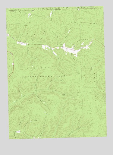
Stickney, PA USGS Topographic Map
Click on map above to begin viewing in our Map Viewer.

This topographic map contains these locations and features:
Feature Name Type Latitude Longitude GNIS ID View Map
Boatroad RunStreamN41.9626°W78.8089°1209438View Map
Bullis HollowValleyN41.9215°W78.8235°1210151View Map
Chander RunStreamN41.9981°W78.8139°1209490View Map
Cobb HollowValleyN41.9592°W78.7901°1209516View Map
Conover HollowValleyN41.8762°W78.8355°1209524View Map
Corydon Township Volunteer Fire DepartmentBuildingN41.9619°W78.8038°2645130View Map
Dry BrookStreamN41.9656°W78.8495°1209569View Map
Hammond RunStreamN41.8815°W78.8670°1209657View Map
Holmes HollowValleyN41.8827°W78.8640°1209677View Map
Indian RunStreamN41.9142°W78.8578°1209689View Map
North Branch Willow CreekStreamN41.9631°W78.8056°1209861View Map
Pickett RunStreamN41.9665°W78.8528°1209884View Map
Porter HollowValleyN41.9568°W78.7920°1209902View Map
Prue HollowValleyN41.9665°W78.8309°1209910View Map
Prue RunStreamN41.9659°W78.8309°1212828View Map
Railroad RunStreamN41.9217°W78.8231°1209913View Map
Schoolhouse HollowValleyN41.8816°W78.8570°1209959View Map
Shingle Mill HollowValleyN41.9181°W78.8393°1209975View Map
Slide HollowValleyN41.9164°W78.8496°1209990View Map
South Branch Willow CreekStreamN41.9617°W78.8186°1210000View Map
StickneyPopulated PlaceN41.9620°W78.8053°1210016View Map
Township of CorydonCivilN41.9225°W78.8489°1216782View Map
Trail HollowValleyN41.9661°W78.8413°1210056View Map
Trail RunStreamN41.9656°W78.8414°1212829View Map
Whitney RunStreamN41.9203°W78.8392°1210114View Map

Note: Coordinates in the location and feature list above are referenced to NAD83 datum.


Copyright (C) 2008-2024 Ryan Niemi / Sunset Dynamics ... All Rights Reserved