TopoQuest Logo
Do you find TopoQuest useful?
Help keep TopoQuest running and adding new maps/features by donating!
Bitcoin:  19c7KJd3qBynnjoSw5npx9KScwjBe4ifkT
Litecoin:  LXs6TkuXGGXo1vDsWCkWVdjQX94eUKd6ui
Home View Maps Find Maps Find Places Resources & Links


Beacon Point, Montana Topographic Map

USGS Map Title: Beacon Point, MT
USGS Map MRC: 45111D3
DRG (GeoTIFF) Download: o45111d3.tif


Neighboring USGS Topographic Map Quads:


  Cherry Creek Canyon, MT  
45111E4
 

  Ruby Mountain, MT  
45111E3
 

  Gallatin Gateway, MT  
45111E2
 

  Willow Swamp, MT  
45111D4
 

  Beacon Point, MT  
45111D3
 

  Garnet Mountain, MT  
45111D2
 

  Lone Mountain, MT  
45111C4
 

  Gallatin Peak, MT  
45111C3
 

  Hidden Lake, MT  
45111C2


Map MRC Location:

N46°
W112°
N46°
W111°
H8 H7 H6 H5 H4 H3 H2 H1
G8 G7 G6 G5 G4 G3 G2 G1
F8 F7 F6 F5 F4 F3 F2 F1
E8 E7 E6 E5 E4 E3 E2 E1
D8 D7 D6 D5 D4 D3 D2 D1
C8 C7 C6 C5 C4 C3 C2 C1
B8 B7 B6 B5 B4 B3 B2 B1
A8 A7 A6 A5 A4 A3 A2 A1
N45°
W112°
N45°
W111°

Beacon Point, MT USGS 1:24K Topographic Map Preview:
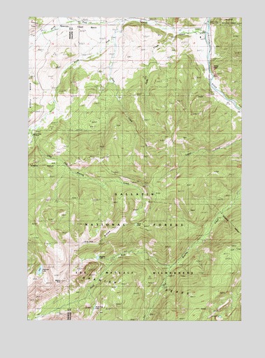
Beacon Point, MT USGS Topographic Map
Click on map above to begin viewing in our Map Viewer.

This topographic map contains these locations and features:
Feature Name Type Latitude Longitude GNIS ID View Map
01S04E17DCDD01 WellWellN45.4983°W111.2680°809803View Map
04S04E18ACAA01 WellWellN45.4922°W111.2752°809772View Map
Arrow LakeLakeN45.4147°W111.3125°779147View Map
Beacon PointPopulated PlaceN45.3888°W111.3591°779460View Map
Benham BridgeBridgeN45.4652°W111.2550°1737922View Map
Diamond LakeLakeN45.3956°W111.3686°782357View Map
Edens CemeteryCemeteryN45.4791°W111.2716°1743530View Map
Grayling LakeLakeN45.4008°W111.3349°771952View Map
Hyde CreekStreamN45.4944°W111.2894°785194View Map
Indian RidgeRidgeN45.4074°W111.3352°785278View Map
Little Hell Roaring CreekStreamN45.4530°W111.3750°786301View Map
North Fork Hell Roaring CreekStreamN45.3977°W111.2911°788180View Map
North Fork LakeLakeN45.3802°W111.3366°788194View Map
North Fork Spanish CreekStreamN45.4985°W111.3225°788250View Map
Rockhaven Presbyterian CampLocaleN45.4749°W111.2697°789718View Map
Sheep RockPillarN45.4783°W111.2661°790369View Map
South Fork Spanish CreekStreamN45.4980°W111.3222°791054View Map
Spanish CreekStreamN45.4941°W111.2713°791124View Map
Spanish Creek Forest Service StationLocaleN45.4510°W111.3736°806810View Map
Spanish Creek RanchLocaleN45.4938°W111.2775°791126View Map
Spanish Creek School (historical)SchoolN45.4985°W111.3175°1743478View Map
Twin CreekStreamN45.4916°W111.3263°792503View Map
Wylie Camp (historical)LocaleN45.4944°W111.2730°1737948View Map

Note: Coordinates in the location and feature list above are referenced to NAD83 datum.


Copyright (C) 2008-2024 Ryan Niemi / Sunset Dynamics ... All Rights Reserved