TopoQuest Logo
Do you find TopoQuest useful?
Help keep TopoQuest running and adding new maps/features by donating!
Bitcoin:  19c7KJd3qBynnjoSw5npx9KScwjBe4ifkT
Litecoin:  LXs6TkuXGGXo1vDsWCkWVdjQX94eUKd6ui
Home View Maps Find Maps Find Places Resources & Links


Crain Place, Montana Topographic Map

USGS Map Title: Crain Place, MT
USGS Map MRC: 46106A3
DRG (GeoTIFF) Download: o46106a3.tif


Neighboring USGS Topographic Map Quads:


  Rosebud Buttes, MT  
46106B4
 

  Indian Creek, MT  
46106B3
 

  Miller Creek NW, MT  
46106B2
 

  Mitchell Coulee, MT  
46106A4
 

  Crain Place, MT  
46106A3
 

  Miller Creek SW, MT  
46106A2
 

  Hammond Draw NW, MT  
45106H4
 

  John Hen Creek, MT  
45106H3
 

  Brandenberg NW, MT  
45106H2


Map MRC Location:

N47°
W107°
N47°
W106°
H8 H7 H6 H5 H4 H3 H2 H1
G8 G7 G6 G5 G4 G3 G2 G1
F8 F7 F6 F5 F4 F3 F2 F1
E8 E7 E6 E5 E4 E3 E2 E1
D8 D7 D6 D5 D4 D3 D2 D1
C8 C7 C6 C5 C4 C3 C2 C1
B8 B7 B6 B5 B4 B3 B2 B1
A8 A7 A6 A5 A4 A3 A2 A1
N46°
W107°
N46°
W106°

Crain Place, MT USGS 1:24K Topographic Map Preview:
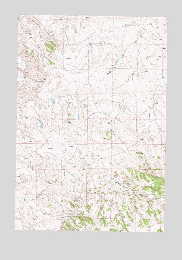
Crain Place, MT USGS Topographic Map
Click on map above to begin viewing in our Map Viewer.

This topographic map contains these locations and features:
Feature Name Type Latitude Longitude GNIS ID View Map
03N43E01AACA01 SpringSpringN46.0478°W106.3200°813850View Map
03N43E03ACCB01 WellWellN46.0447°W106.3675°813842View Map
03N43E15BADD01 WellWellN46.0175°W106.3683°813766View Map
03N44E06BDCD01 WellWellN46.0442°W106.3097°813841View Map
03N44E07ADBA01 SpringSpringN46.0325°W106.2992°813814View Map
03N44E08DCAC01 SpringSpringN46.0239°W106.2813°813791View Map
03N44E17AABB01 WellWellN46.0217°W106.2789°813778View Map
03N44E18AABA01 WellWellN46.0211°W106.2986°813776View Map
04N43E24BAAD01 WellWellN46.0925°W106.3275°813963View Map
04N44E28ACAA01 SpringSpringN46.0754°W106.2609°813927View Map
04N44E28ACDD01 WellWellN46.0731°W106.2608°813922View Map
04N44E29CCAC01 WellWellN46.0681°W106.2928°813902View Map
04N44E32DDDA01 WellWellN46.0522°W106.2758°813859View Map
Barrot SpringSpringN46.0756°W106.2608°768530View Map
Beaver CreekStreamN46.0861°W106.2506°768628View Map
Clark Number 2 DamDamN46.0183°W106.3589°797044View Map
Crain PlacePopulated PlaceN46.0439°W106.3100°770271View Map
Dunning Number 1 DamDamN46.0650°W106.3439°797041View Map
Dunning Number 2 DamDamN46.0600°W106.3539°797040View Map
Lincoln School (historical)SchoolN46.1186°W106.2756°1716563View Map
Mees Number 1 DamDamN46.1083°W106.3139°797042View Map
Sweeney Post Office (historical)Post OfficeN46.0717°W106.2611°1716758View Map

Note: Coordinates in the location and feature list above are referenced to NAD83 datum.


Copyright (C) 2008-2024 Ryan Niemi / Sunset Dynamics ... All Rights Reserved