TopoQuest Logo
Do you find TopoQuest useful?
Help keep TopoQuest running and adding new maps/features by donating!
Bitcoin:  19c7KJd3qBynnjoSw5npx9KScwjBe4ifkT
Litecoin:  LXs6TkuXGGXo1vDsWCkWVdjQX94eUKd6ui
Home View Maps Find Maps Find Places Resources & Links


Merriman, Nebraska Topographic Map

USGS Map Title: Merriman, NE
USGS Map MRC: 42101H6
DRG (GeoTIFF) Download: o42101h6.tif


Neighboring USGS Topographic Map Quads:


  Trumbull Lake, NE  
42101H7
 

  Merriman, NE  
42101H6
 

  Merriman NE, NE  
42101H5
 

  Irwin SE, NE  
42101G7
 

  Merriman SW, NE  
42101G6
 

  Merriman SE, NE  
42101G5


Map MRC Location:

N43°
W102°
N43°
W101°
H8 H7 H6 H5 H4 H3 H2 H1
G8 G7 G6 G5 G4 G3 G2 G1
F8 F7 F6 F5 F4 F3 F2 F1
E8 E7 E6 E5 E4 E3 E2 E1
D8 D7 D6 D5 D4 D3 D2 D1
C8 C7 C6 C5 C4 C3 C2 C1
B8 B7 B6 B5 B4 B3 B2 B1
A8 A7 A6 A5 A4 A3 A2 A1
N42°
W102°
N42°
W101°

Merriman, NE USGS 1:24K Topographic Map Preview:
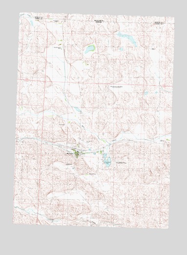
Merriman, NE USGS Topographic Map
Click on map above to begin viewing in our Map Viewer.

This topographic map contains these locations and features:
Feature Name Type Latitude Longitude GNIS ID View Map
Arthur Bowring Sandhill RanchLocaleN42.9575°W101.6771°827585View Map
Arthur Bowring Sandhills Ranch State Historical ParkParkN42.9578°W101.6771°1832118View Map
Bates RanchLocaleN42.9339°W101.7104°827215View Map
Boltz RanchLocaleN42.9269°W101.6315°1805168View Map
Cole Memorial AirportAirportN42.9251°W101.6977°837636View Map
Cooperative Non-Stock Grain Association ElevatorLocaleN42.9197°W101.7007°1832073View Map
Cottonwood LakeLakeN42.9134°W101.6757°828391View Map
Cottonwood Lake Camping AreaLocaleN42.9147°W101.6785°1832111View Map
Cottonwood Lake State Recreation AreaParkN42.9142°W101.6754°1805167View Map
Dry CreekStreamN42.9239°W101.6751°828789View Map
Eve Bowring Visitor CenterBuildingN42.9578°W101.6771°1832117View Map
Gardner RanchLocaleN42.9550°W101.7271°829458View Map
Garould Fairhead RanchLocaleN42.9800°W101.7168°829214View Map
Gray RanchLocaleN42.9808°W101.6443°1805174View Map
Heckel CreekStreamN42.9986°W101.7474°1255501View Map
Heckel CreekStreamN42.9953°W101.7411°1805191View Map
Heckel CreekStreamN42.9969°W101.7496°829913View Map
Jay Fairhead RanchLocaleN42.9936°W101.7199°1805175View Map
McConaughey RanchLocaleN42.9114°W101.7096°1805172View Map
MerrimanPopulated PlaceN42.9197°W101.7007°831236View Map
Merriman Post OfficePost OfficeN42.9192°W101.7009°1832074View Map
Merriman Public SchoolSchoolN42.9169°W101.6974°1832076View Map
Merriman Volunteer Fire DepartmentBuildingN42.9172°W101.7012°1832075View Map
Moreland RanchLocaleN42.9061°W101.6907°1805169View Map
Sandhills Rescue - Ambulance ServiceBuildingN42.9171°W101.7009°2553494View Map
Sandoz RanchLocaleN42.9347°W101.7099°1805173View Map
Shady Spot RV CampLocaleN42.9197°W101.7007°1832103View Map
Village of MerrimanCivilN42.9230°W101.6997°2399320View Map
Weber RanchLocaleN42.9817°W101.6435°834521View Map

Note: Coordinates in the location and feature list above are referenced to NAD83 datum.


Copyright (C) 2008-2024 Ryan Niemi / Sunset Dynamics ... All Rights Reserved