TopoQuest Logo
Do you find TopoQuest useful?
Help keep TopoQuest running and adding new maps/features by donating!
Bitcoin:  19c7KJd3qBynnjoSw5npx9KScwjBe4ifkT
Litecoin:  LXs6TkuXGGXo1vDsWCkWVdjQX94eUKd6ui
Home View Maps Find Maps Find Places Resources & Links


Grasshopper Valley, California Topographic Map

USGS Map Title: Grasshopper Valley, CA
USGS Map MRC: 40120G6
DRG (GeoTIFF) Download: o40120g6.tif


Neighboring USGS Topographic Map Quads:


  Said Valley, CA  
40120H7
 

  Whitinger Mountain, CA  
40120H6
 

  Anderson Mountain, CA  
40120H5
 

  Sheepshead, CA  
40120G7
 

  Grasshopper Valley, CA  
40120G6
 

  Cleghorn Flat, CA  
40120G5
 

  Spalding Tract, CA  
40120F7
 

  Troxel Point, CA  
40120F6
 

  Fredonyer Peak, CA  
40120F5


Map MRC Location:

N41°
W121°
N41°
W120°
H8 H7 H6 H5 H4 H3 H2 H1
G8 G7 G6 G5 G4 G3 G2 G1
F8 F7 F6 F5 F4 F3 F2 F1
E8 E7 E6 E5 E4 E3 E2 E1
D8 D7 D6 D5 D4 D3 D2 D1
C8 C7 C6 C5 C4 C3 C2 C1
B8 B7 B6 B5 B4 B3 B2 B1
A8 A7 A6 A5 A4 A3 A2 A1
N40°
W121°
N40°
W120°

Grasshopper Valley, CA USGS 1:24K Topographic Map Preview:
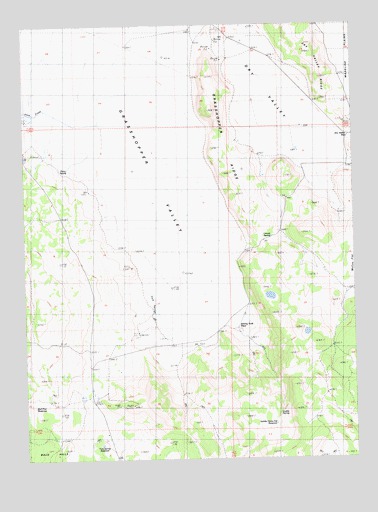
Grasshopper Valley, CA USGS Topographic Map
Click on map above to begin viewing in our Map Viewer.

This topographic map contains these locations and features:
Feature Name Type Latitude Longitude GNIS ID View Map
Bull Pine ReservoirReservoirN40.7652°W120.7476°1665838View Map
California Department of Forestry and Fire Protection Lassen Modoc Unit GrasshopperBuildingN40.7685°W120.7258°2622144View Map
Dairy SpringSpringN40.8323°W120.7333°221979View Map
Dry ValleyValleyN40.8424°W120.6269°222666View Map
Dry Valley GapGapN40.8427°W120.6272°222668View Map
Grasshopper Fire Control StationLocaleN40.7677°W120.7244°224471View Map
Grasshopper RidgeRidgeN40.8435°W120.6750°224474View Map
Grasshopper ValleyValleyN40.7885°W120.6838°260800View Map
Johnny York Place (historical)LocaleN40.7882°W120.6700°1665875View Map
Leavitt SpringSpringN40.8138°W120.6574°1665879View Map
Luddy SpringSpringN40.7630°W120.6550°1665886View Map
Saddle Horse Flat ReservoirReservoirN40.7600°W120.6563°1665902View Map
Slate CreekStreamN40.8527°W120.7469°266273View Map
Tom Spring ReservoirReservoirN40.7542°W120.7223°1665919View Map
York SpringsSpringN40.7921°W120.7025°1665928View Map

Note: Coordinates in the location and feature list above are referenced to NAD83 datum.


Copyright (C) 2008-2024 Ryan Niemi / Sunset Dynamics ... All Rights Reserved