TopoQuest Logo
Do you find TopoQuest useful?
Help keep TopoQuest running and adding new maps/features by donating!
Bitcoin:  19c7KJd3qBynnjoSw5npx9KScwjBe4ifkT
Litecoin:  LXs6TkuXGGXo1vDsWCkWVdjQX94eUKd6ui
Home View Maps Find Maps Find Places Resources & Links


Alkali Coulee, Montana Topographic Map

USGS Map Title: Alkali Coulee, MT
USGS Map MRC: 48104E5
DRG (GeoTIFF) Download: o48104e5.tif


Neighboring USGS Topographic Map Quads:


  Kisler Butte, MT  
48104F6
 

  Shippe Canyon, MT  
48104F5
 

  Antelope, MT  
48104F4
 

  Flagstaff Hill, MT  
48104E6
 

  Alkali Coulee, MT  
48104E5
 

  Reserve, MT  
48104E4
 

  Homestead NW, MT  
48104D6
 

  Homestead, MT  
48104D5
 

  Medicine Lake, MT  
48104D4


Map MRC Location:

N49°
W105°
N49°
W104°
H8 H7 H6 H5 H4 H3 H2 H1
G8 G7 G6 G5 G4 G3 G2 G1
F8 F7 F6 F5 F4 F3 F2 F1
E8 E7 E6 E5 E4 E3 E2 E1
D8 D7 D6 D5 D4 D3 D2 D1
C8 C7 C6 C5 C4 C3 C2 C1
B8 B7 B6 B5 B4 B3 B2 B1
A8 A7 A6 A5 A4 A3 A2 A1
N48°
W105°
N48°
W104°

Alkali Coulee, MT USGS 1:24K Topographic Map Preview:
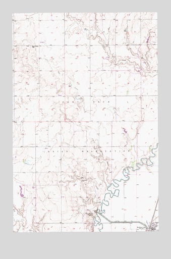
Alkali Coulee, MT USGS Topographic Map
Click on map above to begin viewing in our Map Viewer.

This topographic map contains these locations and features:
Feature Name Type Latitude Longitude GNIS ID View Map
32N55E18ADDD01 WellWellN48.5353°W104.6063°1635825View Map
32N55E25ABCB01 WellWellN48.5031°W104.5075°1635738View Map
33N54E13CDCC01 WellWellN48.6070°W104.5969°1636012View Map
33N55E18DDAA01 WellWellN48.6100°W104.5594°1636026View Map
33N55E27BBBA01 WellWellN48.5911°W104.5130°1635963View Map
33N56E28DAAD01 WellWellN48.5834°W104.5094°1635942View Map
Alkali CouleeValleyN48.5267°W104.5444°768169View Map
Dam Number 1DamN48.5113°W104.5535°770436View Map
Diversion Ditch Number OneCanalN48.5056°W104.5269°770667View Map
Engstrom DamDamN48.5267°W104.6188°796156View Map
Medicine LakeLocaleN48.5025°W104.5072°1677570View Map
Medicine LakePopulated PlaceN48.5014°W104.5047°774077View Map
Medicine Lake Lutheran ChurchChurchN48.5003°W104.5063°1677451View Map
Medicine Lake Post OfficePost OfficeN48.5018°W104.5048°1677571View Map
Medicine Lake SchoolSchoolN48.5020°W104.5025°1677539View Map
Medicine Lake Volunteer Fire DepartmentBuildingN48.5016°W104.5070°2546699View Map
Mine CouleeValleyN48.5172°W104.5522°774261View Map
Olson TradingLocaleN48.5028°W104.5080°1677580View Map
Rose ValleySchoolN48.6061°W104.6086°775942View Map
Saint Patricks Catholic ChurchChurchN48.5011°W104.5030°1677421View Map
Sheep Camp CouleeValleyN48.5200°W104.5552°776425View Map
Town of Medicine LakeCivilN48.5022°W104.5017°2412975View Map
Union Congregational ChurchChurchN48.5003°W104.5002°1677444View Map

Note: Coordinates in the location and feature list above are referenced to NAD83 datum.


Copyright (C) 2008-2024 Ryan Niemi / Sunset Dynamics ... All Rights Reserved