TopoQuest Logo
Do you find TopoQuest useful?
Help keep TopoQuest running and adding new maps/features by donating!
Bitcoin:  19c7KJd3qBynnjoSw5npx9KScwjBe4ifkT
Litecoin:  LXs6TkuXGGXo1vDsWCkWVdjQX94eUKd6ui
Home View Maps Find Maps Find Places Resources & Links


Belltower, Montana Topographic Map

USGS Map Title: Belltower, MT
USGS Map MRC: 45104F3
DRG (GeoTIFF) Download: o45104f3.tif


Neighboring USGS Topographic Map Quads:


  Camp Needmore, MT  
45104G4
 

  Lampkin Gulch, MT  
45104G3
 

  Mill Iron, MT  
45104G2
 

  Taylor Hills, MT  
45104F4
 

  Belltower, MT  
45104F3
 

  Rustler Divide, MT  
45104F2
 

  School Section Creek, MT  
45104E4
 

  Belltower Butte, MT  
45104E3
 

  Timber Hill, MT  
45104E2


Map MRC Location:

N46°
W105°
N46°
W104°
H8 H7 H6 H5 H4 H3 H2 H1
G8 G7 G6 G5 G4 G3 G2 G1
F8 F7 F6 F5 F4 F3 F2 F1
E8 E7 E6 E5 E4 E3 E2 E1
D8 D7 D6 D5 D4 D3 D2 D1
C8 C7 C6 C5 C4 C3 C2 C1
B8 B7 B6 B5 B4 B3 B2 B1
A8 A7 A6 A5 A4 A3 A2 A1
N45°
W105°
N45°
W104°

Belltower, MT USGS 1:24K Topographic Map Preview:
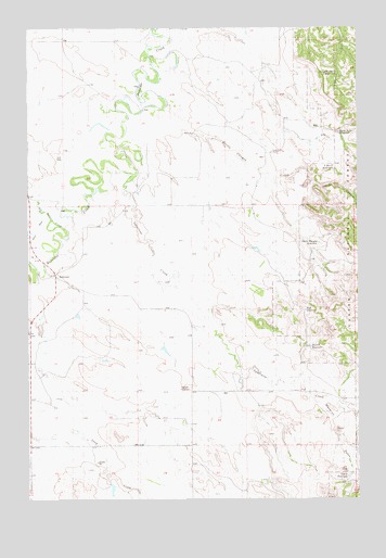
Belltower, MT USGS Topographic Map
Click on map above to begin viewing in our Map Viewer.

This topographic map contains these locations and features:
Feature Name Type Latitude Longitude GNIS ID View Map
02S60E11CBAD01 WellWellN45.6742°W104.2886°811032View Map
02S60E28A___01 WellWellN45.6375°W104.3188°810726View Map
Bell Tower HallBuildingN45.6833°W104.3638°1688697View Map
Belltower School (historical)SchoolN45.6867°W104.3624°1688777View Map
Belltower Seventh Day Adventist ChurchChurchN45.6867°W104.3624°1688698View Map
Big Ramme CreekStreamN45.7008°W104.3641°768815View Map
Burditt ReservoirReservoirN45.6654°W104.2684°799496View Map
Devils CanyonValleyN45.7103°W104.2847°799489View Map
Devils Canyon CreekStreamN45.7294°W104.3222°799488View Map
Devils Canyon ReservoirReservoirN45.6929°W104.2651°799494View Map
E-B ReservoirReservoirN45.6751°W104.2702°799493View Map
Ekalaka Mini-Mutes Radar SiteMilitaryN45.6667°W104.3670°2512173View Map
Elgin School (historical)SchoolN45.7458°W104.3527°1688793View Map
Horse Killer ReservoirReservoirN45.7221°W104.2575°799491View Map
Lampkin Gulch ReservoirReservoirN45.7378°W104.2580°799490View Map
Maverick GulchValleyN45.6533°W104.2705°799532View Map
Maverick ReservoirReservoirN45.6310°W104.2542°799497View Map
Short DrawValleyN45.7011°W104.3699°799480View Map
Speelmon CreekStreamN45.7111°W104.3355°776934View Map
Sykes CornerLocaleN45.6539°W104.3144°799495View Map
Sykes Post Office (historical)Post OfficeN45.6736°W104.3483°1688768View Map
V-Bar-S ReservoirReservoirN45.7131°W104.2591°799492View Map

Note: Coordinates in the location and feature list above are referenced to NAD83 datum.


Copyright (C) 2008-2024 Ryan Niemi / Sunset Dynamics ... All Rights Reserved