TopoQuest Logo
Do you find TopoQuest useful?
Help keep TopoQuest running and adding new maps/features by donating!
Bitcoin:  19c7KJd3qBynnjoSw5npx9KScwjBe4ifkT
Litecoin:  LXs6TkuXGGXo1vDsWCkWVdjQX94eUKd6ui
Home View Maps Find Maps Find Places Resources & Links


Niles Coulee, Montana Topographic Map

USGS Map Title: Niles Coulee, MT
USGS Map MRC: 47107H3
DRG (GeoTIFF) Download: o47107h3.tif


Neighboring USGS Topographic Map Quads:


  Harb SW, MT  
48107A4
 

  Craig Reservoir, MT  
48107A3
 

  Burnett Flats West, MT  
48107A2
 

  White Horse Coulee, MT  
47107H4
 

  Niles Coulee, MT  
47107H3
 

  Triple Crossing Reservoir West, MT  
47107H2
 

  Whiskey Coulee, MT  
47107G4
 

  Smith Coulee, MT  
47107G3
 

  Gibson Coulee, MT  
47107G2


Map MRC Location:

N48°
W108°
N48°
W107°
H8 H7 H6 H5 H4 H3 H2 H1
G8 G7 G6 G5 G4 G3 G2 G1
F8 F7 F6 F5 F4 F3 F2 F1
E8 E7 E6 E5 E4 E3 E2 E1
D8 D7 D6 D5 D4 D3 D2 D1
C8 C7 C6 C5 C4 C3 C2 C1
B8 B7 B6 B5 B4 B3 B2 B1
A8 A7 A6 A5 A4 A3 A2 A1
N47°
W108°
N47°
W107°

Niles Coulee, MT USGS 1:24K Topographic Map Preview:
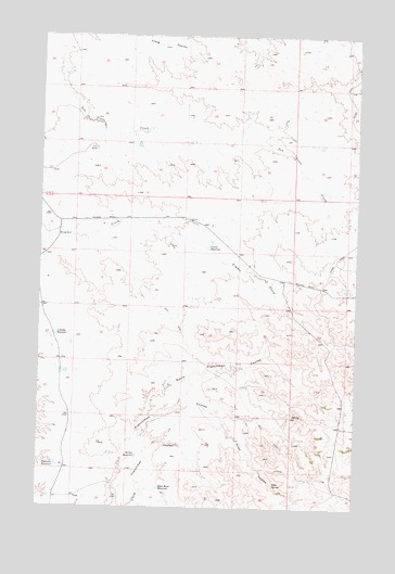
Niles Coulee, MT USGS Topographic Map
Click on map above to begin viewing in our Map Viewer.

This topographic map contains these locations and features:
Feature Name Type Latitude Longitude GNIS ID View Map
Anderson ReservoirReservoirN47.8867°W107.3685°768251View Map
Corral ReservoirReservoirN47.9441°W107.3092°770122View Map
High Moon ReservoirReservoirN47.8804°W107.3275°772387View Map
Loblolly ReservoirReservoirN47.9208°W107.3692°773521View Map
Mc Kee ReservoirReservoirN47.8888°W107.3365°773955View Map
Niles CouleeValleyN47.9003°W107.3068°774637View Map
Niles SpringSpringN47.8815°W107.2824°774638View Map
North Frenchman CouleeValleyN47.8989°W107.3329°774829View Map
Odin DamDamN47.9333°W107.2540°797862View Map

Note: Coordinates in the location and feature list above are referenced to NAD83 datum.


Copyright (C) 2008-2024 Ryan Niemi / Sunset Dynamics ... All Rights Reserved