TopoQuest Logo
Do you find TopoQuest useful?
Help keep TopoQuest running and adding new maps/features by donating!
Bitcoin:  19c7KJd3qBynnjoSw5npx9KScwjBe4ifkT
Litecoin:  LXs6TkuXGGXo1vDsWCkWVdjQX94eUKd6ui
Home View Maps Find Maps Find Places Resources & Links


Island Lake, Wisconsin Topographic Map

USGS Map Title: Island Lake, WI
USGS Map MRC: 46091D5
DRG (GeoTIFF) Download: o46091d5.tif


Neighboring USGS Topographic Map Quads:


  Lake Nebagamon, WI  
46091E6
 

  Brule, WI  
46091E5
 

  Iron Lake, WI  
46091E4
 

  Lake Minnesuing, WI  
46091D6
 

  Island Lake, WI  
46091D5
 

  Drummond NW, WI  
46091D4
 

  Metzger Lake, WI  
46091C6
 

  Ellison Lake, WI  
46091C5
 

  Upper Eau Claire Lake, WI  
46091C4


Map MRC Location:

N47°
W92°
N47°
W91°
H8 H7 H6 H5 H4 H3 H2 H1
G8 G7 G6 G5 G4 G3 G2 G1
F8 F7 F6 F5 F4 F3 F2 F1
E8 E7 E6 E5 E4 E3 E2 E1
D8 D7 D6 D5 D4 D3 D2 D1
C8 C7 C6 C5 C4 C3 C2 C1
B8 B7 B6 B5 B4 B3 B2 B1
A8 A7 A6 A5 A4 A3 A2 A1
N46°
W92°
N46°
W91°

Island Lake, WI USGS 1:24K Topographic Map Preview:
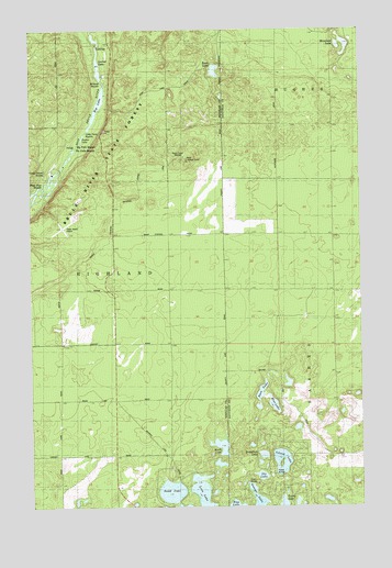
Island Lake, WI USGS Topographic Map
Click on map above to begin viewing in our Map Viewer.

This topographic map contains these locations and features:
Feature Name Type Latitude Longitude GNIS ID View Map
Bass LakeLakeN46.4052°W91.5382°1561276View Map
Big LakeLakeN46.4788°W91.6030°1561746View Map
Big Twin RapidsRapidsN46.4699°W91.6074°1846498View Map
Blue LakeLakeN46.4017°W91.5335°1561943View Map
Breakfast LakeLakeN46.3885°W91.5377°1562166View Map
Brule Lookout TowerTowerN46.4655°W91.5677°1581182View Map
Brule Rush Lake State Natural AreaParkN46.4892°W91.5550°2111042View Map
Cedar Island AirportAirportN46.4449°W91.6196°1581905View Map
Cedar Island EstateLocaleN46.4611°W91.6199°1562848View Map
Cedar Island PondsLakeN46.4560°W91.6236°2770963View Map
George LakeLakeN46.3768°W91.5402°1565467View Map
Hay LakeLakeN46.3758°W91.5486°1566201View Map
Island LakeLakeN46.3846°W91.5305°1567020View Map
Little Twin RapidsRapidsN46.4733°W91.6041°1846554View Map
Loon LakeLakeN46.3784°W91.5612°1568630View Map
Lucius LakeLakeN46.4904°W91.5990°2770981View Map
Lucius LakeLakeN46.4913°W91.6019°1568784View Map
Mays Rips RapidsRapidsN46.4588°W91.6213°1846557View Map
Moreland LakeLakeN46.4957°W91.5055°1569724View Map
Muck LakeLakeN46.3907°W91.5533°1569876View Map
Ole LakeLakeN46.3829°W91.5383°1570795View Map
Rush LakeLakeN46.4892°W91.5550°1572740View Map
Sand LakeLakeN46.3789°W91.5726°1573684View Map
Sucker LakeLakeN46.4719°W91.6055°1846587View Map
The Falls RapidsRapidsN46.4691°W91.6080°1846525View Map
Town of HighlandCivilN46.4197°W91.6217°1583386View Map
Turtle LakeLakeN46.3752°W91.5303°1575744View Map
WHSA-FM (Brule)TowerN46.4663°W91.5657°1582583View Map
Wildcat RapidsRapidsN46.4866°W91.5974°1846603View Map

Note: Coordinates in the location and feature list above are referenced to NAD83 datum.


Copyright (C) 2008-2024 Ryan Niemi / Sunset Dynamics ... All Rights Reserved