TopoQuest Logo
Do you find TopoQuest useful?
Help keep TopoQuest running and adding new maps/features by donating!
Bitcoin:  19c7KJd3qBynnjoSw5npx9KScwjBe4ifkT
Litecoin:  LXs6TkuXGGXo1vDsWCkWVdjQX94eUKd6ui
Home View Maps Find Maps Find Places Resources & Links


Cleveland NW, Montana Topographic Map

USGS Map Title: Cleveland NW, MT
USGS Map MRC: 48109D2
DRG (GeoTIFF) Download: o48109d2.tif


Neighboring USGS Topographic Map Quads:


  Lohman SE, MT  
48109E3
 

  Chinook, MT  
48109E2
 

  Zurich, MT  
48109E1
 

  Sayer Butte, MT  
48109D3
 

  Cleveland NW, MT  
48109D2
 

  Cleveland NE, MT  
48109D1
 

  Lloyd, MT  
48109C3
 

  Cleveland, MT  
48109C2
 

  Miles Butte, MT  
48109C1


Map MRC Location:

N49°
W110°
N49°
W109°
H8 H7 H6 H5 H4 H3 H2 H1
G8 G7 G6 G5 G4 G3 G2 G1
F8 F7 F6 F5 F4 F3 F2 F1
E8 E7 E6 E5 E4 E3 E2 E1
D8 D7 D6 D5 D4 D3 D2 D1
C8 C7 C6 C5 C4 C3 C2 C1
B8 B7 B6 B5 B4 B3 B2 B1
A8 A7 A6 A5 A4 A3 A2 A1
N48°
W110°
N48°
W109°

Cleveland NW, MT USGS 1:24K Topographic Map Preview:
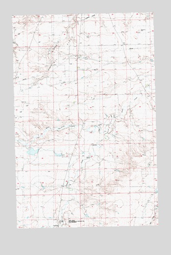
Cleveland NW, MT USGS Topographic Map
Click on map above to begin viewing in our Map Viewer.

This topographic map contains these locations and features:
Feature Name Type Latitude Longitude GNIS ID View Map
31N19E13ADBA01 WellWellN48.4481°W109.1977°1635569View Map
31N19E13ADBA02 WellWellN48.4483°W109.1977°1635570View Map
31N20E28CDBD01 WellWellN48.4133°W109.1329°1635394View Map
32N19E36CDCA01 WellWellN48.4819°W109.2091°1635683View Map
32N19E36CDCB01 WellWellN48.4828°W109.2096°1635689View Map
32N20E32DDDC01 WellWellN48.4817°W109.1521°1635681View Map
32N20E33DDAD01 WellWellN48.4844°W109.1302°1635698View Map
32N20E34CCBB01 WellWellN48.4844°W109.1291°1635697View Map
Bean CreekStreamN48.4300°W109.1685°768573View Map
Bear Paw Battlefield - Nez Perce National Historical ParkParkN48.3772°W109.2105°1722443View Map
Blackjack MineMineN48.4903°W109.1374°805591View Map
Bowes Oil FieldOilfieldN48.4786°W109.2402°769140View Map
Central School (historical)SchoolN48.4606°W109.1938°769727View Map
Chief Joseph BattlegroundLocaleN48.3794°W109.2088°769820View Map
Garden DamDamN48.4200°W109.2307°795216View Map
New Hope School (historical)SchoolN48.4808°W109.1296°774596View Map
Olson Road CouleeValleyN48.4539°W109.1349°1722157View Map
Red Rock School (historical)SchoolN48.3908°W109.2107°775659View Map
Snake DamDamN48.4183°W109.2091°795215View Map
Spring CouleeValleyN48.4011°W109.2077°1722155View Map
Spring CreekStreamN48.3756°W109.2210°1722170View Map
Tiger Number 1 DamDamN48.4183°W109.1691°798054View Map

Note: Coordinates in the location and feature list above are referenced to NAD83 datum.


Copyright (C) 2008-2024 Ryan Niemi / Sunset Dynamics ... All Rights Reserved