TopoQuest Logo
Do you find TopoQuest useful?
Help keep TopoQuest running and adding new maps/features by donating!
Bitcoin:  19c7KJd3qBynnjoSw5npx9KScwjBe4ifkT
Litecoin:  LXs6TkuXGGXo1vDsWCkWVdjQX94eUKd6ui
Home View Maps Find Maps Find Places Resources & Links


Millport, Kentucky Topographic Map

USGS Map Title: Millport, KY
USGS Map MRC: 37087C3
DRG (GeoTIFF) Download: o37087c3.tif


Neighboring USGS Topographic Map Quads:


  Hanson, KY  
37087D4
 

  Sacramento, KY  
37087D3
 

  Livermore, KY  
37087D2
 

  Madisonville East, KY  
37087C4
 

  Millport, KY  
37087C3
 

  Central City West, KY  
37087C2
 

  Nortonville, KY  
37087B4
 

  Graham, KY  
37087B3
 

  Greenville, KY  
37087B2


Map MRC Location:

N38°
W88°
N38°
W87°
H8 H7 H6 H5 H4 H3 H2 H1
G8 G7 G6 G5 G4 G3 G2 G1
F8 F7 F6 F5 F4 F3 F2 F1
E8 E7 E6 E5 E4 E3 E2 E1
D8 D7 D6 D5 D4 D3 D2 D1
C8 C7 C6 C5 C4 C3 C2 C1
B8 B7 B6 B5 B4 B3 B2 B1
A8 A7 A6 A5 A4 A3 A2 A1
N37°
W88°
N37°
W87°

Millport, KY USGS 1:24K Topographic Map Preview:
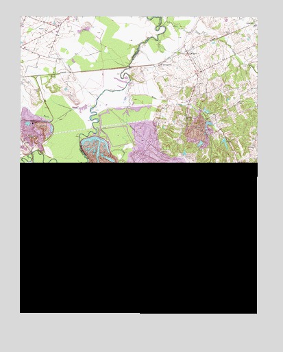
Millport, KY USGS Topographic Map
Click on map above to begin viewing in our Map Viewer.

This topographic map contains these locations and features:
Feature Name Type Latitude Longitude GNIS ID View Map
Antioch ChurchChurchN37.3009°W87.3167°485981View Map
Bremen DivisionCivilN37.3374°W87.2506°1936889View Map
Briar CreekPopulated PlaceN37.3331°W87.2877°2742989View Map
Brier CreekStreamN37.3370°W87.3183°487897View Map
Brier Creek SchoolSchoolN37.3328°W87.2872°487899View Map
Cardwell CemeteryCemeteryN37.3442°W87.3653°488933View Map
Corley ChapelChurchN37.2681°W87.2842°490111View Map
Earle CreekStreamN37.3367°W87.3372°491418View Map
EarlesPopulated PlaceN37.3000°W87.3103°507899View Map
East Union (historical)Populated PlaceN37.2864°W87.2917°2743008View Map
East Union ChurchChurchN37.2856°W87.2922°491504View Map
FiesPopulated PlaceN37.3223°W87.3739°492068View Map
GrahamPopulated PlaceN37.2517°W87.2797°493076View Map
Graham Lake (historical)ReservoirN37.2703°W87.2731°493085View Map
Harpes Hill ValleyValleyN37.3276°W87.3353°2648505View Map
Harps HillSummitN37.2543°W87.3493°493790View Map
Irwin CreekStreamN37.3142°W87.3225°495030View Map
Isaacs CreekStreamN37.3276°W87.3353°495035View Map
JagoePopulated PlaceN37.3542°W87.2737°2743016View Map
Log CreekStreamN37.3709°W87.3003°496969View Map
Lynn CityPopulated PlaceN37.3717°W87.2508°497378View Map
McDonalds (historical)Populated PlaceN37.3122°W87.2508°2743024View Map
Mercer CemeteryCemeteryN37.2731°W87.3336°498070View Map
MillportPopulated PlaceN37.3609°W87.2875°508608View Map
Mount Pisgah ChurchChurchN37.3209°W87.2525°498817View Map
Pond ChurchChurchN37.3695°W87.3625°501036View Map
Salem CemeteryCemeteryN37.3684°W87.2644°502772View Map
SandyPopulated PlaceN37.3078°W87.2683°509010View Map
StringtownPopulated PlaceN37.3550°W87.3006°509146View Map

Note: Coordinates in the location and feature list above are referenced to NAD83 datum.


Copyright (C) 2008-2024 Ryan Niemi / Sunset Dynamics ... All Rights Reserved