TopoQuest Logo
Do you find TopoQuest useful?
Help keep TopoQuest running and adding new maps/features by donating!
Bitcoin:  19c7KJd3qBynnjoSw5npx9KScwjBe4ifkT
Litecoin:  LXs6TkuXGGXo1vDsWCkWVdjQX94eUKd6ui
Home View Maps Find Maps Find Places Resources & Links


Jubilee Lake, Oregon Topographic Map

USGS Map Title: Jubilee Lake, OR
USGS Map MRC: 45117G8
DRG (GeoTIFF) Download: o45117g8.tif


Neighboring USGS Topographic Map Quads:


  Big Meadows, OR  
45118H1
 

  Bone Spring, OR  
45117H8
 

  Wenaha Forks, OR  
45117H7
 

  Tollgate, OR  
45118G1
 

  Jubilee Lake, OR  
45117G8
 

  Fry Meadow, OR  
45117G7
 

  Andies Prairie, OR  
45118F1
 

  Partridge Creek, OR  
45117F8
 

  Rondowa, OR  
45117F7


Map MRC Location:

N46°
W118°
N46°
W117°
H8 H7 H6 H5 H4 H3 H2 H1
G8 G7 G6 G5 G4 G3 G2 G1
F8 F7 F6 F5 F4 F3 F2 F1
E8 E7 E6 E5 E4 E3 E2 E1
D8 D7 D6 D5 D4 D3 D2 D1
C8 C7 C6 C5 C4 C3 C2 C1
B8 B7 B6 B5 B4 B3 B2 B1
A8 A7 A6 A5 A4 A3 A2 A1
N45°
W118°
N45°
W117°

Jubilee Lake, OR USGS 1:24K Topographic Map Preview:
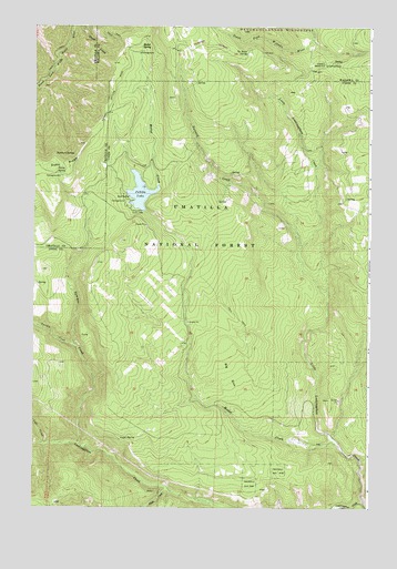
Jubilee Lake, OR USGS Topographic Map
Click on map above to begin viewing in our Map Viewer.

This topographic map contains these locations and features:
Feature Name Type Latitude Longitude GNIS ID View Map
Big SinkBasinN45.7849°W117.9266°1138066View Map
Buzzard CreekStreamN45.8168°W117.9016°1139079View Map
Dusty RidgeRidgeN45.8390°W117.9891°1141424View Map
Dusty SpringSpringN45.8368°W117.9916°1141427View Map
Dusty Spring Forest CampLocaleN45.8360°W117.9913°1638055View Map
Eagle CreekStreamN45.7543°W117.9485°1141473View Map
Eagle SpringSpringN45.7520°W117.9908°1153085View Map
Jubilee LakeReservoirN45.8315°W117.9608°1144413View Map
Jubilee Lake Campground Boat RampLocaleN45.8310°W117.9653°2700346View Map
Jubilee Lake Recreation SiteLocaleN45.8290°W117.9663°1167171View Map
Jubilee Meadows DamDamN45.8268°W117.9588°1155583View Map
Little Lookingglass CreekStreamN45.7510°W117.8769°1145202View Map
Lost CreekStreamN45.7662°W117.9955°1145526View Map
Luger SpringSpringN45.7677°W117.9678°1145673View Map
Mottet CreekStreamN45.7671°W117.8869°1146515View Map
Mottet Recreation SiteLocaleN45.8679°W117.9613°1167172View Map
Mottet SpringSpringN45.8702°W117.9594°1146516View Map
No Name SpringSpringN45.8680°W117.9216°1146858View Map
Skookum CreekStreamN45.8665°W117.9844°1158940View Map
Skookum SpringSpringN45.8416°W117.9853°1149623View Map
Summer CreekStreamN45.7665°W117.9822°1150594View Map
Swamp CreekStreamN45.7915°W117.9835°1150746View Map
Timothy Guard StationBuildingN45.8651°W117.8929°1151252View Map
Timothy SpringSpringN45.8655°W117.8892°1152816View Map
Timothy Spring CampgroundLocaleN45.8651°W117.8913°1167220View Map

Note: Coordinates in the location and feature list above are referenced to NAD83 datum.


Copyright (C) 2008-2024 Ryan Niemi / Sunset Dynamics ... All Rights Reserved