TopoQuest Logo
Do you find TopoQuest useful?
Help keep TopoQuest running and adding new maps/features by donating!
Bitcoin:  19c7KJd3qBynnjoSw5npx9KScwjBe4ifkT
Litecoin:  LXs6TkuXGGXo1vDsWCkWVdjQX94eUKd6ui
Home View Maps Find Maps Find Places Resources & Links


Sitton Peak, California Topographic Map

USGS Map Title: Sitton Peak, CA
USGS Map MRC: 33117E4
DRG (GeoTIFF) Download: o33117e4.tif


Neighboring USGS Topographic Map Quads:


  Santiago Peak, CA  
33117F5
 

  Alberhill, CA  
33117F4
 

  Lake Elsinore, CA  
33117F3
 

  Canada Gobernadora, CA  
33117E5
 

  Sitton Peak, CA  
33117E4
 

  Wildomar, CA  
33117E3
 

  San Clemente, CA  
33117D5
 

  Margarita Peak, CA  
33117D4
 

  Fallbrook, CA  
33117D3


Map MRC Location:

N34°
W118°
N34°
W117°
H8 H7 H6 H5 H4 H3 H2 H1
G8 G7 G6 G5 G4 G3 G2 G1
F8 F7 F6 F5 F4 F3 F2 F1
E8 E7 E6 E5 E4 E3 E2 E1
D8 D7 D6 D5 D4 D3 D2 D1
C8 C7 C6 C5 C4 C3 C2 C1
B8 B7 B6 B5 B4 B3 B2 B1
A8 A7 A6 A5 A4 A3 A2 A1
N33°
W118°
N33°
W117°

Sitton Peak, CA USGS 1:24K Topographic Map Preview:
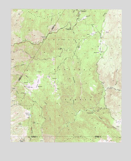
Sitton Peak, CA USGS Topographic Map
Click on map above to begin viewing in our Map Viewer.

This topographic map contains these locations and features:
Feature Name Type Latitude Longitude GNIS ID View Map
Bear CanyonValleyN33.6064°W117.4325°239077View Map
Belardes PotreroAreaN33.5264°W117.4820°239167View Map
Bluewater CanyonValleyN33.5261°W117.4259°239510View Map
Bluewater Truck TrailTrailN33.5603°W117.4220°239511View Map
Carrillo SpringSpringN33.5557°W117.4863°240267View Map
Chiquito TrailTrailN33.6181°W117.4520°1765639View Map
Clark TrailTrailN33.5178°W117.4703°240666View Map
Decker CanyonValleyN33.6167°W117.4264°241338View Map
Dobe SpringSpringN33.5175°W117.4725°241523View Map
Fishermans CampLocaleN33.5275°W117.4078°242279View Map
Fishermans Camp TrailheadLocaleN33.5323°W117.3931°2548701View Map
Fox SpringSpringN33.5666°W117.4705°242423View Map
Indian PotreroFlatN33.5003°W117.4653°243827View Map
Indian Potrero Truck TrailTrailN33.5314°W117.4648°243828View Map
Lion CanyonValleyN33.6022°W117.4603°244885View Map
Long CanyonValleyN33.6181°W117.4300°245067View Map
Los Alamos CanyonValleyN33.5511°W117.3939°245131View Map
Los Chinos SpringSpringN33.5457°W117.4839°245162View Map
Lower San Juan CampgroundLocaleN33.5989°W117.4609°245271View Map
Miller MountainSummitN33.5011°W117.3912°245929View Map
Morgan TrailTrailN33.6167°W117.3953°246197View Map
Morrell CanyonValleyN33.6131°W117.4353°246219View Map
Nickel CanyonValleyN33.5072°W117.4484°246532View Map
Oak FlatsFlatN33.5545°W117.4520°246727View Map
Ortega Oaks CampgroundLocaleN33.6153°W117.4238°2548720View Map
Pigeon SpringSpringN33.5896°W117.4258°247463View Map
Potrero de Los CienegaCivilN33.5934°W117.4000°254171View Map
Quail SpringSpringN33.5528°W117.4692°247852View Map
Riverside County Fire Department Station 62 Rancho CarrilloBuildingN33.5537°W117.4715°2665012View Map
Round PotreroFlatN33.6017°W117.4087°248421View Map
San Juan Loop TrailheadLocaleN33.6129°W117.4272°2548728View Map
San Juan TrailTrailN33.6111°W117.4956°248888View Map
San Mateo Canyon WildernessReserveN33.5424°W117.4229°2035284View Map
San Mateo TrailTrailN33.5281°W117.4231°248924View Map
San Mateo Truck TrailTrailN33.5314°W117.4012°248925View Map
Serrano SpringSpringN33.5593°W117.4498°249297View Map
Sitton PeakSummitN33.5875°W117.4462°249528View Map
Sitton Peak Truck TrailTrailN33.5775°W117.4662°249529View Map
Stewart RanchLocaleN33.5847°W117.4017°249925View Map
Tenaja CanyonValleyN33.5295°W117.4089°250334View Map
Tenaja Falls TrailheadLocaleN33.5490°W117.3946°2548731View Map
Tenaja Truck TrailTrailN33.5575°W117.3995°250336View Map
Upper San Juan CampgroundLocaleN33.6064°W117.4331°250854View Map
Verdugo PotreroFlatN33.5550°W117.4706°250994View Map
Verdugo Truck TrailTrailN33.5759°W117.4409°250997View Map
Wheeler RanchLocaleN33.5520°W117.4806°251443View Map
Wildhorse CanyonValleyN33.5514°W117.3842°251557View Map

Note: Coordinates in the location and feature list above are referenced to NAD83 datum.


Copyright (C) 2008-2024 Ryan Niemi / Sunset Dynamics ... All Rights Reserved