TopoQuest Logo
Do you find TopoQuest useful?
Help keep TopoQuest running and adding new maps/features by donating!
Bitcoin:  19c7KJd3qBynnjoSw5npx9KScwjBe4ifkT
Litecoin:  LXs6TkuXGGXo1vDsWCkWVdjQX94eUKd6ui
Home View Maps Find Maps Find Places Resources & Links


Bighorn Crags, Idaho Topographic Map

USGS Map Title: Bighorn Crags, ID
USGS Map MRC: 45114C4
DRG (GeoTIFF) Download: o45114c4.tif


Neighboring USGS Topographic Map Quads:


  Horse Creek Butte, ID  
45114D5
 

  Tincup Hill, ID  
45114D4
 

  Shoup, ID  
45114D3
 

  Long Tom Mountain, ID  
45114C5
 

  Bighorn Crags, ID  
45114C4
 

  Pine Creek Rapids, ID  
45114C3
 

  Mount McGuire, ID  
45114B5
 

  Gant Ridge, ID  
45114B4
 

  Gant Mountain, ID  
45114B3


Map MRC Location:

N46°
W115°
N46°
W114°
H8 H7 H6 H5 H4 H3 H2 H1
G8 G7 G6 G5 G4 G3 G2 G1
F8 F7 F6 F5 F4 F3 F2 F1
E8 E7 E6 E5 E4 E3 E2 E1
D8 D7 D6 D5 D4 D3 D2 D1
C8 C7 C6 C5 C4 C3 C2 C1
B8 B7 B6 B5 B4 B3 B2 B1
A8 A7 A6 A5 A4 A3 A2 A1
N45°
W115°
N45°
W114°

Bighorn Crags, ID USGS 1:24K Topographic Map Preview:
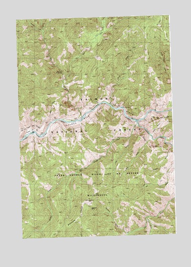
Bighorn Crags, ID USGS Topographic Map
Click on map above to begin viewing in our Map Viewer.

This topographic map contains these locations and features:
Feature Name Type Latitude Longitude GNIS ID View Map
Bear GulchValleyN45.3041°W114.3951°377149View Map
Corral FlatFlatN45.2882°W114.4531°379803View Map
Cougar CreekStreamN45.2599°W114.3959°379893View Map
Cove CreekStreamN45.3252°W114.4259°379923View Map
Cove Creek BridgeBridgeN45.3232°W114.4170°379927View Map
East Fork Owl CreekStreamN45.3399°W114.4623°381147View Map
Garden CreekStreamN45.3141°W114.4043°382179View Map
Line GulchValleyN45.3055°W114.4106°384696View Map
Owl CreekStreamN45.3182°W114.4481°388054View Map
Owl Creek Hot SpringsSpringN45.3443°W114.4638°388057View Map
Panther CreekStreamN45.3155°W114.4056°388149View Map
Poverty FlatFlatN45.3113°W114.4920°388828View Map
Pretty GulchValleyN45.3071°W114.3923°388863View Map
Pretty Gulch Trail (historical)TrailN45.3127°W114.3776°388864View Map
Rancherio CreekStreamN45.2507°W114.4151°389087View Map
Sagebrush LookoutLocaleN45.2707°W114.4456°389807View Map
Sagebrush Lookout TrailTrailN45.2777°W114.3865°389808View Map
Sagebrush MountainSummitN45.2705°W114.4459°399224View Map
Sagebrush SpringSpringN45.2661°W114.4436°389810View Map
Skull GulchValleyN45.3171°W114.4720°390538View Map
Squaw GulchValleyN45.2988°W114.3784°391304View Map
Swamp CreekStreamN45.3682°W114.4784°391705View Map

Note: Coordinates in the location and feature list above are referenced to NAD83 datum.


Copyright (C) 2008-2024 Ryan Niemi / Sunset Dynamics ... All Rights Reserved