TopoQuest Logo
Do you find TopoQuest useful?
Help keep TopoQuest running and adding new maps/features by donating!
Bitcoin:  19c7KJd3qBynnjoSw5npx9KScwjBe4ifkT
Litecoin:  LXs6TkuXGGXo1vDsWCkWVdjQX94eUKd6ui
Home View Maps Find Maps Find Places Resources & Links


Old Woman Statue, California Topographic Map

USGS Map Title: Old Woman Statue, CA
USGS Map MRC: 34115E2
DRG (GeoTIFF) Download: o34115e2.tif


Neighboring USGS Topographic Map Quads:


  Danby, CA  
34115F3
 

  Essex, CA  
34115F2
 

  Little Piute Mountains, CA  
34115F1
 

  Skeleton Pass, CA  
34115E3
 

  Old Woman Statue, CA  
34115E2
 

  Painted Rock Wash, CA  
34115E1
 

  Cadiz Lake NE, CA  
34115D3
 

  Sheep Camp Spring, CA  
34115D2
 

  Wilhelm Spring, CA  
34115D1


Map MRC Location:

N35°
W116°
N35°
W115°
H8 H7 H6 H5 H4 H3 H2 H1
G8 G7 G6 G5 G4 G3 G2 G1
F8 F7 F6 F5 F4 F3 F2 F1
E8 E7 E6 E5 E4 E3 E2 E1
D8 D7 D6 D5 D4 D3 D2 D1
C8 C7 C6 C5 C4 C3 C2 C1
B8 B7 B6 B5 B4 B3 B2 B1
A8 A7 A6 A5 A4 A3 A2 A1
N34°
W116°
N34°
W115°

Old Woman Statue, CA USGS 1:24K Topographic Map Preview:
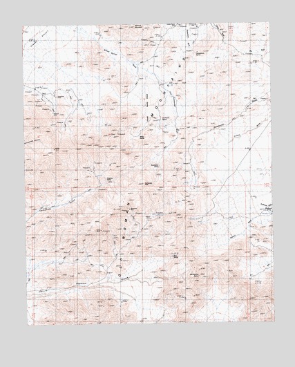
Old Woman Statue, CA USGS Topographic Map
Click on map above to begin viewing in our Map Viewer.

This topographic map contains these locations and features:
Feature Name Type Latitude Longitude GNIS ID View Map
Azalea WashStreamN34.5425°W115.1358°238854View Map
Bert SpringSpringN34.5280°W115.1766°1667097View Map
Carbonate PeakSummitN34.5586°W115.1911°1660436View Map
Dripping SpringSpringN34.5599°W115.2097°241618View Map
Enterprise MineMineN34.5947°W115.2361°242041View Map
Florence MineMineN34.5889°W115.2355°242323View Map
Gemco MineMineN34.5436°W115.1875°1667100View Map
Golden Fleece MineMineN34.6236°W115.1714°242820View Map
Hang MineMineN34.5392°W115.2125°1667101View Map
Honeymoon SpringSpringN34.6129°W115.1633°243616View Map
Mercury MountainSummitN34.6236°W115.1950°245782View Map
Old Ranch SpringSpringN34.5852°W115.1814°1667105View Map
Old Woman StatueLocaleN34.5197°W115.1633°1654751View Map
Paramount SpringSpringN34.5589°W115.1675°247244View Map
Silverware MineMineN34.5478°W115.1983°1667109View Map
Sunflower SpringSpringN34.5443°W115.1286°250094View Map
Sweetwater SpringSpringN34.5653°W115.1814°250179View Map
Sweetwater WashStreamN34.6033°W115.1903°250187View Map
Weavers WellWellN34.6242°W115.1633°251274View Map
Willow SpringSpringN34.5657°W115.1825°251631View Map
Willow Spring CanyonValleyN34.6033°W115.1903°251653View Map
Willow Spring WashStreamN34.6225°W115.2272°251655View Map

Note: Coordinates in the location and feature list above are referenced to NAD83 datum.


Copyright (C) 2008-2024 Ryan Niemi / Sunset Dynamics ... All Rights Reserved